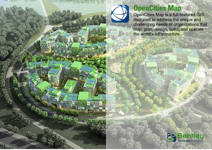
软件开发商OpenCities Map很高兴地宣布,open cities Map Ultimate 2023(23.00.00.123)现已推出,这是一款全功能GIS,旨在满足测绘、规划、设计、建设和运营全球基础设施的组织的独特和富有挑战性的需求。
2023年开放城市地图终极版(23.00.00.123)-日期:2023年8月2日
新特性和功能
-仅支持特征操作引擎(FME) 2022。
-与ProjectWise集成,用于导入/导出SHP文件。
-在开放城市地图中附加/分离引用时的性能增强。
以下问题已在2023年8月2日23.00.00.123版2023年开放城市地图中更正和/或添加。
OpenCities Map是专为MicroStation用户打造的创新地理空间平台。OpenCities Map构建在MicroStation之上,具有熟悉的用户界面,可以轻松快速地熟练创建功能强大的GIS模型。对于Bentley MicroStation用户来说,OpenCities Map是实现现有CAD环境现代化和利用空间驱动的GIS工作流的最佳方式。它易于使用,并将强大的GIS工具集成到您每天依赖的MicroStation界面中。
OpenCities Map Ultimate为您提供高效的3D建模功能,用于在地理空间环境中记录和建模资产。您可以集成、处理和流式传输现实建模数据,例如大规模现实网格、点云、可缩放地形模型和栅格数据,以便在工程CAD环境中与原生空间数据库连接一起使用。OpenCities Map Ultimate能够快速轻松地操作任何比例的网格,并能够生成横截面、提取地面和隔断线,以及生成正射影像、3D PDFs和iModels。
Bentley Systems,Inc .是全球领先的公司,致力于为建筑师、工程师、建筑商和业主运营商提供全面的基础设施维护架构和工程软件解决方案。Bentley成立于1984年,在超过45个国家拥有近3,000名员工,年收入5亿美元,自2001年以来,在研发和收购方面的投资超过10亿美元。
The software developer OpenCities Map is pleased to announce the availability of OpenCities Map Ultimate 2023 (23.00.00.123) is a full-featured GIS designed to address the unique and challenging needs of organizations that map, plan, design, build, and operate the world’s infrastructure.
OpenCities Map Ultimate 2023 (23.00.00.123) – Date: August 2nd, 2023
New Features and Capabilities
– Only Support Feature Manipulation Engine (FME) 2022.
– Integration with ProjectWise for import/export of SHP files.
– Performance enhancement when attaching/detaching reference in OpenCities Map.
The following issues have been corrected and/or added to the OpenCities Map 2023, version 23.00.00.123, dated August 2nd, 2023.
OpenCities Map , an innovative geospatial platform made specifically for MicroStation users. OpenCities Map is built right on top of MicroStation and has a familiar user interface that makes it easy to quickly become proficient in creating powerful GIS models. For Bentley MicroStation users, OpenCities Map is the best way to modernize your existing CAD environment and tap into the power of spatially fueled GIS workflows. It’s easy to use and integrates powerful GIS tools into the MicroStation interface you rely on every day.
OpenCities Map Ultimate provides you with efficient 3D modeling capabilities for documenting and modeling assets in a geospatial environment. You can integrate, process, and stream reality modeling data such as large-scale reality meshes, point clouds, scalable terrain models, and raster data for use in an engineering CAD environment along with a native spatial database connection. OpenCities Map Ultimate enables fast and easy manipulation of meshes of any scale as well as the ability to generate cross sections, extract ground and breaklines, and produce orthophotos, 3D PDFs, and iModels.
Bentley Systems, Inc. is the global leader dedicated to providing architects, engineers, constructors, and owner-operators with comprehensive architecture and engineering software solutions for sustaining infrastructure. Founded in 1984, Bentley has nearly 3,000 colleagues in more than 45 countries, $500 million in annual revenues, and, since 2001, has invested more than $1 billion in research, development, and acquisitions.
1、登录后,打赏30元成为VIP会员,全站资源免费获取!
2、资源默认为百度网盘链接,请用浏览器打开输入提取码不要有多余空格,如无法获取 请联系微信 yunqiaonet 补发。
3、分卷压缩包资源 需全部下载后解压第一个压缩包即可,下载过程不要强制中断 建议用winrar解压或360解压缩软件解压!
4、云桥CG资源站所发布资源仅供用户自学自用,用户需以学习为目的,按需下载,严禁批量采集搬运共享资源等行为,望知悉!!!
5、云桥CG资源站,感谢您的赞赏与支持!平台所收取打赏费用仅作为平台服务器租赁及人员维护资金 费用不为素材本身费用,望理解知悉!


